A single bridge strike costs an average of £13,000 and the UK records around five every day — almost all of them caused by a truck following a car sat nav down a route it was never built to take.
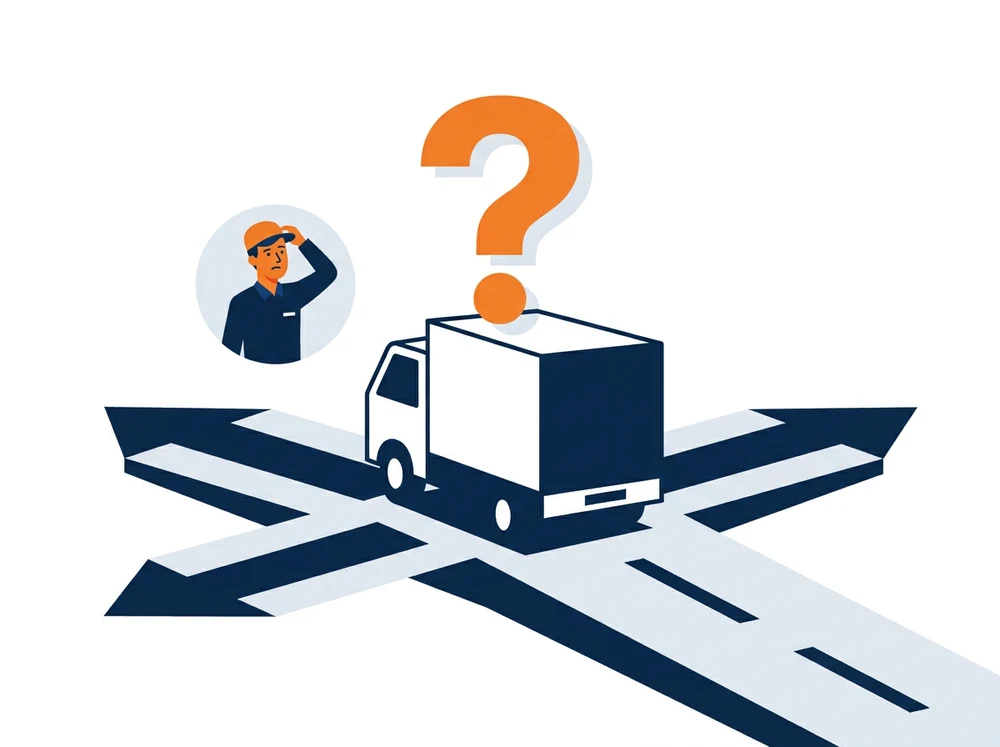
A standard car sat nav — whether it's a dedicated device or the mapping app on a driver's phone — has no idea what vehicle it's sitting in. It doesn't know the trailer is 4.2 metres tall, that the artic weighs 44 tonnes, that the load is 2.9 metres wide, or that the route includes a road with a 7.5-tonne weight limit through a residential village. It will happily route a rigid or artic under a 12-foot bridge, down a lane it cannot turn out of, or across a weight-restricted bridge — because car sat nav software is built and licensed for cars, not commercial vehicles.
Consumer apps route by distance and traffic only — they have no vehicle profile, so height, weight, width and axle limits are never checked against the road ahead.
Bridge strikes are one of the most common and costly consequences of car-based navigation in an HGV — see how low bridge detection adds a second line of defence in the cab.
Weight-limit and width-restriction fines, Network Rail delay-minute recharges and a conversation with the Traffic Commissioner all follow from routing that never should have sent the vehicle there.
Routes that ignore restrictions produce ETAs drivers can't keep and force costly last-minute diversions — adding avoidable miles and fuel to every shift.
HGV routing software starts with a vehicle profile — height, width, length, weight, axle count and hazardous-goods class — stored against each vehicle or driver device. Every route request is then calculated against verified commercial map data that includes low-bridge heights, weight-restricted roads, width limits and access restrictions, so the software only ever offers roads that specific vehicle can legally and physically use.
Height, width, length, weight, axle load and load class are stored once per vehicle and applied to every route automatically.
Commercial map data covering low bridges, weight limits and access restrictions is checked against the profile before a route is offered.
Live traffic and turn-by-turn guidance keep the driver on the legal route, with predictive ETAs updated as conditions change.
Truck sat nav in the cab runs on a professional in-vehicle navigation licence, not a consumer app. Each licence carries the vehicle's profile, on-device maps for areas with poor signal, and turn-by-turn guidance with low-bridge and weight-limit avoidance built in. Licences are managed per vehicle, so a mixed fleet of rigids, artics and vans can each run the correct profile without a driver having to set anything manually. Vehicle profiles are managed centrally, so the same restrictions data and routing logic apply whether the driver is following in-cab guidance or a planner is checking a route in the office.
Truck sat nav is most useful when it isn't sitting on its own. Routing and navigation data works alongside vehicle telematics, giving planners the planned route and the actual route side by side, and flags where a driver has deviated from a compliant path. For back-office planning, routing and geocoding web services can be called directly from your dispatch or TMS system, so route legality is checked before a job is ever allocated — not discovered by a driver at a low bridge. Read more about how planning and in-cab guidance work together on our routing and scheduling page.
Truck-legal routing between depots and RDCs with ETAs planners and customers can trust.
Height- and weight-aware routing for site deliveries and abnormal loads on unfamiliar roads.
Height- and length-aware guidance for vehicles carrying people, not just freight.
Back-office sequencing plus in-cab guidance that copes with unfamiliar, restriction-heavy drops.
Routing that respects ADR tunnel and road restrictions alongside standard vehicle limits.
Routing and visualisation web services that plug straight into existing planning systems.
A truck sat nav routes using the vehicle's actual height, width, weight, axle load and hazardous-goods class, so it only offers roads that vehicle can legally and physically use. A car sat nav has no vehicle profile at all, so it routes every vehicle — including a 44-tonne artic — as if it were a car.
Yes. Once a vehicle's height is set in its profile, the routing engine excludes roads under bridges below that height, preventing most strikes at the planning stage. Many operators pair this with an in-cab low bridge detection system for a second line of defence.
In-cab navigation is typically licensed per vehicle, while back-office routing and geocoding web services are billed per transaction — so cost scales with fleet size and usage rather than a flat fee. Exact pricing is confirmed against your fleet mix [TBC].
Yes — professional navigation licences include on-device offline maps, so guidance continues in rural areas and signal blackspots, with live traffic resuming automatically once coverage returns.
Yes. Routing data sits alongside vehicle telematics so planners can compare planned and actual routes, and routing web services can be called directly from an existing dispatch or TMS system.
Talk to our team about HGV routing software and in-cab navigation licences — hardware, connectivity, installation and support from one supplier. Call 0800 020 9339.

 English
 English (US)
 English (AU)
 English (NZ)
 English (SA)
 Français
 Français (CA)
 Italiano
 Deutsch
 Español
 Nederlands
 Português
 Polski
 العربية
 עברית
עברית Svenska
 Dansk
Dansk Suomi
Suomi Norsk
Norsk