Truck-legal in-vehicle navigation licences and routing & visualisation web services with live traffic — built for commercial fleets, not cars.
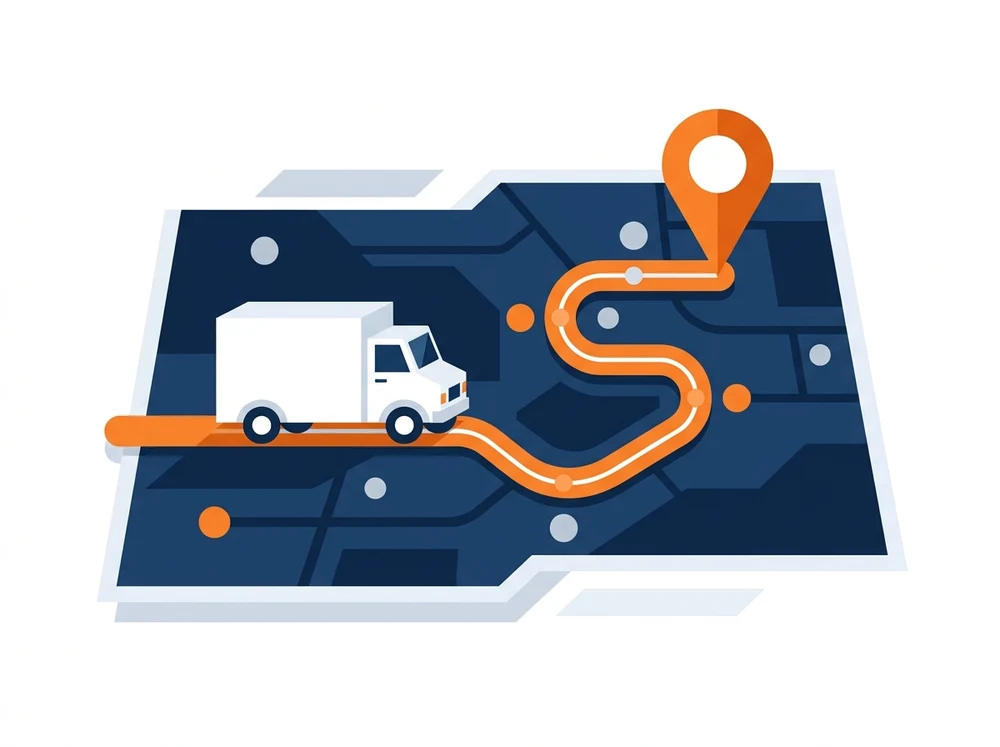
Mapping & navigation covers truck-legal in-vehicle navigation licences and routing & visualisation web services for commercial fleets. Rather than routing a lorry, coach or specialist vehicle like a car, it plans every journey around the vehicle’s dimensions and restrictions. It suits hauliers, construction logistics, coach operators and transport planners who need legal, reliable routes in the cab and in the back office. For a deeper look at planning and in-cab guidance working together, see our routing and scheduling page.
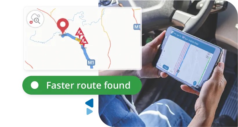
Car / auto routing — per unit
View product →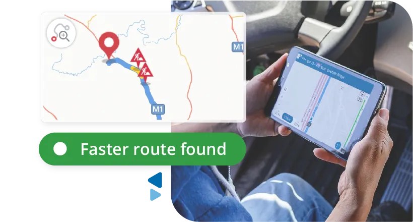
Truck-legal (HGV) routing — per unit
View product →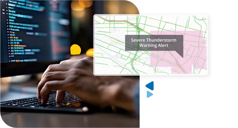
Fleet tracking & map visualisation — per transaction
View product →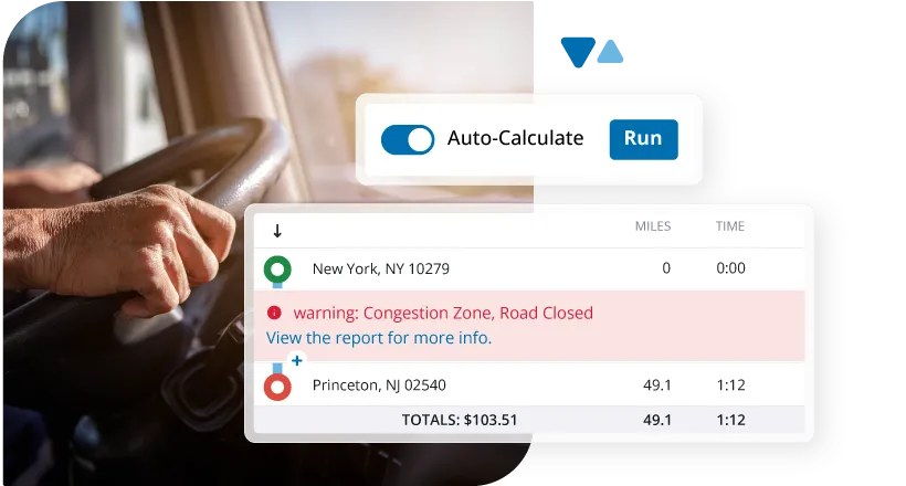
Car / auto routing & visualisation, incl. live traffic — per transaction
View product →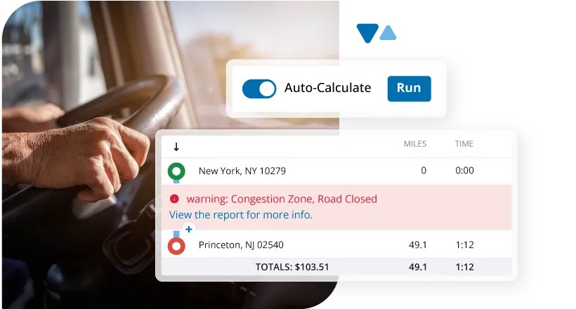
Truck routing & visualisation, incl. live traffic — per transaction
View product →Our team will spec the right mapping & navigation solution for your fleet — and partners see their pricing in the portal.

 English
 English (US)
 English (AU)
 English (NZ)
 English (SA)
 Français
 Français (CA)
 Italiano
 Deutsch
 Español
 Nederlands
 Português
 Polski
 العربية
 עברית
עברית Svenska
 Dansk
Dansk Suomi
Suomi Norsk
Norsk